Good morning
- 17°C | 13mph
- 54.4909
- -1.1386
walk
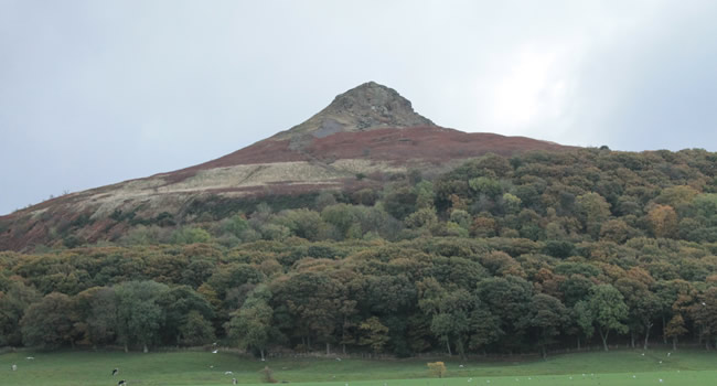
Roseberry Topping
Roseberry Topping is up there with one of the many mysteries of Ancient England. Dating back to the middle and lower Jurassic periods, between 206 and 165 million years ago, and formed of sandstone, it really is a site to behold and a hill to climb!
Video courtesy of Jamie Haslam of ROAM (Roam with Us Photography and Videography)
Bronze-age discoveries were made on the slopes of the hill and are now located in Sheffield City Museum. Roseberry Topping was occupied during the Iron Age; walled enclosures and the remains of huts dating from the period are still visible in the hill's vicinity.
You can climb Roseberry Topping from Newton-under-Roseberry or from Great Ayton depending on your stamina! Stop for a drink and a bite to eat, in either village, before taking the ascent to Roseberry's summit and taking in the views across North Yorkshire and the East Coast.
Trail route from Newton-under-Roseberry
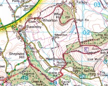
Distance: Approx 2 miles
Duration: Approx 1 - 2 hours
Start your walk at Newton-under-Roseberry carpark, only a few minutes drive from Great Ayton towards Guisborough on the A173.
Please note this is a pay-and-display carpark. Postcode for sat nav is TS9 6QR. Grid reference: NZ570128
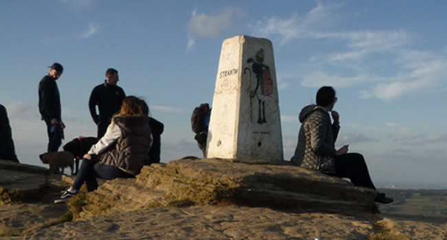
The summit of Roseberry Topping
- Start you ascent by following the track up Roseberry Lane
- You will reach some steps and wooden kissing gate and enter Newton Woods
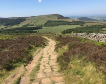
- Turn left and after a short distance turn right and climb the stone path
- When the stone path turns to the left follow this route and pass through the gate onto Roseberry Common
- Keep following the path upto the summit of Roseberry Topping and take in the breathtaking views. A great photo opportunity as you look out to Captain Cook's Monument to your left, the East Coast to your right and Newton Moor behind you. A perfect picnic spot!
- Start your descent from the back of Roseberry Topping following the stone steps and path back down. The route will turn slightly to the right and follow this down until you see the fence ahead of you and the National Trust signpost
- Here you will need to turn right and continue down the stone path until you reach a wooden gate
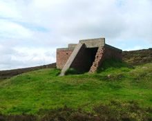
- Pass through the gate and you will see the Shooting Hut ahead of you, another great photo opportunity!
- With the Shooting Hut on your left continue down the steep, grassy bank until you reach a wooden kissing gate
- Pass through the gate and turn right into Newton Woods and follow the steep track downwards
- At the bottom of the track turn right and follow the path back through the wood back to the kissing gate you first entered on your ascent
- Continue back down Roseberry Lane to the carpark
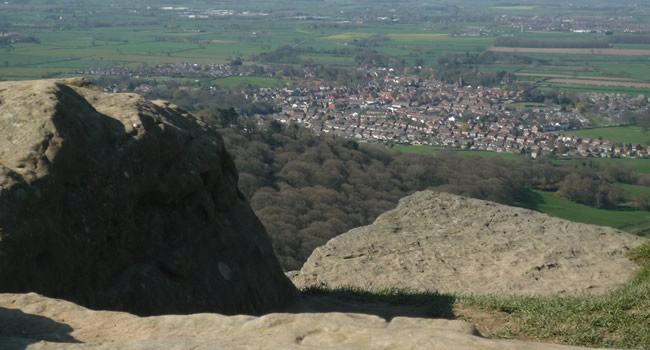
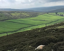
View of Great Ayton from Roseberry Topping
Why not stop for a drink or two and a bite to eat at The King's Head Inn, only a few seconds walk to your right from Newton-under-Roseberry carpark. Enjoy a 'Walk-Inn' break (subect to availability) valid until the end of October 2020.
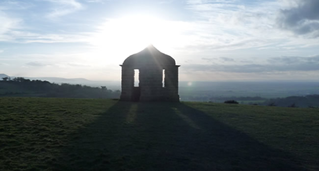
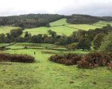
Shooting Hut at Roseberry Topping
Longer walking route from Great Ayton
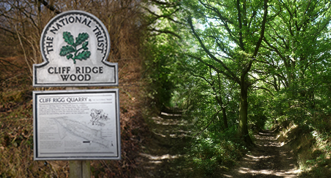
Start and finish your walk with a drink and a nibble at one of Great Ayton's lovely cafés, pubs or restaurants and browse the wonderful, independent high street shops.
- With High Green on your right and High Street shops to your left, follow the road for 180 metres (200 yards) along onto Newton Road which bends to your left. Look for the sign-posted gap in the stone wall on the opposite side of the road where you’ll see a metal kissing gate.
- Follow the footpath through the woodland and into the fields. Follow the path through a couple more woodland pathways continuing across the rail track, and eventually up into Cliff Ridge Wood, part of the National Trust.
- Once into the woods, take the steep, upper path to your right until you reach a wooden gate.
- Turn left at the gate and follow the edge of the field until you reach a stile.
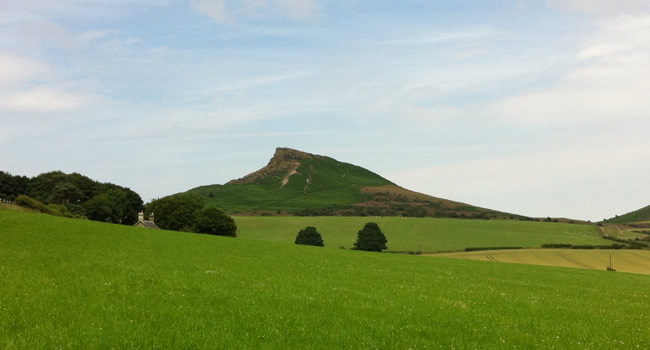
Roseberry Topping as you leave Cliff Ridge Woods
- Once over the stile, turn right and follow the path with the fence to your right and enter through another gate.
- Walk through the field keeping the fence on your right, the field will move round to the left. Keep the fence on your right and you will soon see another gate.
- Enter through the gate and follow the long path, you will see Roseberry Topping ahead of you, another lovely photo opportunity!
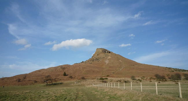
Roseberry Topping as you pass the Shooting Hut on your right
- You will reach a gate which you pass through and continue up a steep incline and over a stile. The Shooting Hut will be on your left.
- Pass the Shooting Hut and head through the gate, following the path up until you see the Roseberry Topping National Trust sign-post.
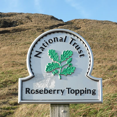
- Turn left here and continue the final ascent up to the summit.
- For your descent, follow the path you came up and when back at the Shooting Hut continue down the steep, grassy bank with the Shooting Hut on your left.
- At the gate turn left and follow the path. The path will eventually split, keep taking the lower path, heading downwards (they all come to the same point eventually).
- Once you reach the end of the path, turn right and head down until you reach a wooden gate.
- Turn left after the gate, you will see the quarry entrance to your left and two paths. Take the upper path which enters into Cliff Ridge Woods.
- Follow the path for about 10 - 15 mins until you reach the National Trust sign-post you saw when you first entered them on your ascent.
- Turn right back down the stone steps and follow the route you took on your way up.
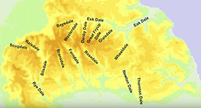
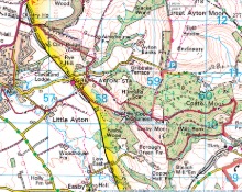
Roseberry Topping on the map
Other activities in Great Ayton

Captain Cook's Monument
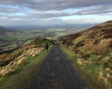
Bank Foot to Ingleby Incline Circular
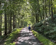
Kildale to Baysdale Circular
- 6 miles
- 298 m
Kildale Falls Circular
Great Ayton Moor
Commondale through Danby & Castleton Circular
Guisborough Forest & Walkway to Highcliff Nab
Clay Bank to Tripsdale
North Yorkshire Three Peaks
