Good afternoon
- 13°C | 7mph
- 54.4909
- -1.1386
walk
Clay Bank car park to Lord Stones circular
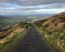
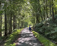
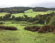
Walk from Clay Bank car park to Lord Stones’ cafe along the Cleveland Hills. The walk continues along a path leading from Hasty Bank (398m), Cold Moor (402m), Cringle Moor (432m) to Lord Stones’ cafe.
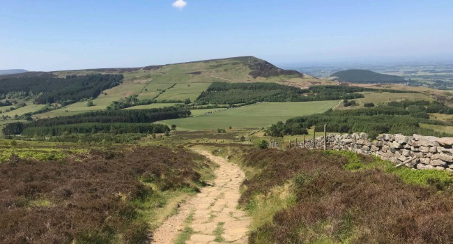
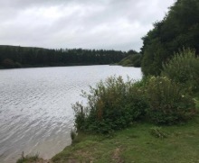
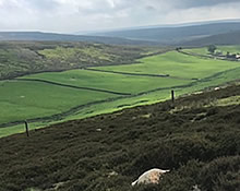
The walk starts at Clay Bank car park, in-between Great Broughton and Chop Gate, with a steep path up to Hasty Bank (398m), then a long downhill and a steep walk up to Cold Moor (402m), then a long downhill and a steep walk up Cringle Moor (432m), then a long descent to Lord Stones’ cafe. There is a wonderful view looking north of Roseberry Topping and Captain Cook’s Monument. The return route is either back along the three hills or along a path at the bottom of the hills.
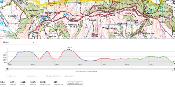
Distance: 7.2 miles
Elevation Gain: 500 metres
Endurance: Moderate to high (unsuitable for families with very young children)
"The Clay Bank to Lord Stones Walk is renowned in North Yorkshire. Hopefully most of the local population will have walked it. About 10 years ago I walked there and back in just less than 2 hours - going up and down the hills in both directions. The last time it took me 3 hours 30 minutes! It is certainly difficult but the reward is a coffee and cake in the excellent Lord Stones' cafe." - Mike Newton
All information, images and YouTube content kindly contributed by the wonderful Mike Newton.
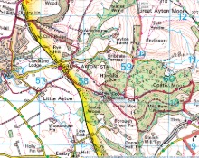
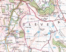
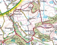
Clay Bank to Lord Stones on the map
Other activities in Great Ayton
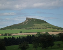
Roseberry Topping
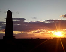
Captain Cook's Monument
Bank Foot to Ingleby Incline Circular
Kildale to Baysdale Circular
- 6 miles
- 298 m
Kildale Falls Circular
Great Ayton Moor
Commondale through Danby & Castleton Circular
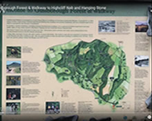
Guisborough Forest & Walkway to Highcliff Nab
Clay Bank to Tripsdale
North Yorkshire Three Peaks