Good afternoon
- 13°C | 7mph
- 54.4909
- -1.1386
walk
Circular Walk from Swainby
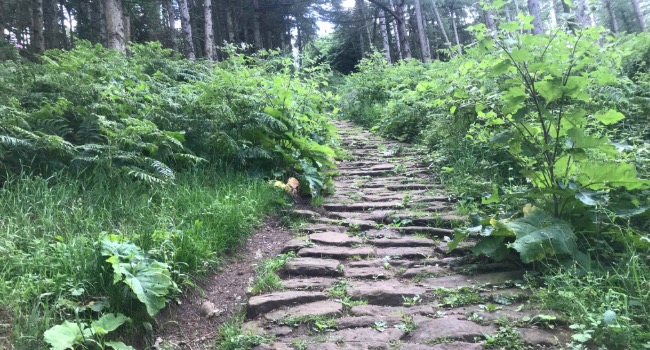
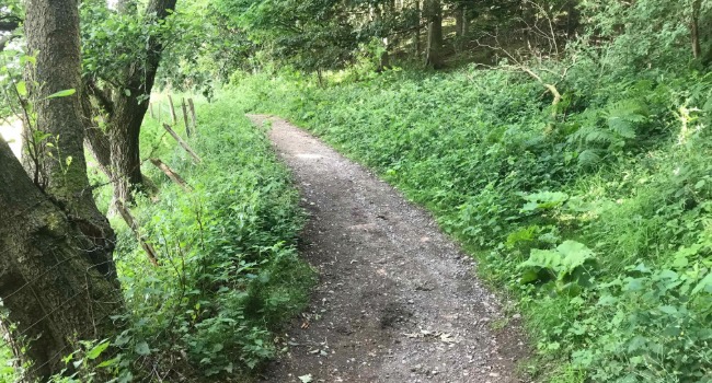
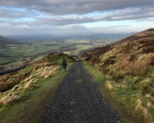
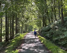
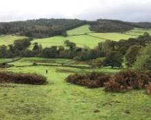
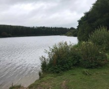
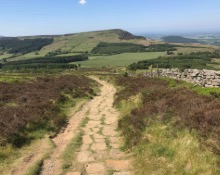
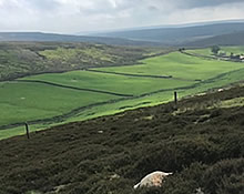
This is a lovely walk that starts in Swainby, loops up the hill to Live Moor then descends down and goes around Whorl Hill to arrive back in Swainby, after passing the 12th century Whorlton Castle. The views from the top are marvellous, with Roseberry Topping in the far background. This walk is renowned, and can be found in the AA Walks.
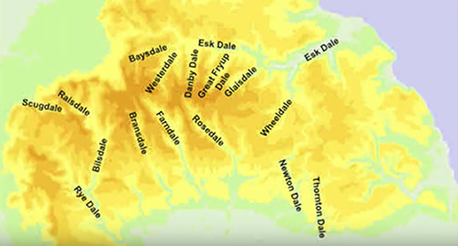
Swainby is located at the north-western corner of the North York Moors National Park. It is divided by its tree-lined stream. Dates back to the 14th century when the inhabitants of Whorlton moved there due to the Black Death.
Directions by car from Great Ayton to Swainby
- Follow the A173 to Stokesley (2.6 miles)
- At the roundabout, take the 2nd exit onto the A172 (travel for 5.3 miles)
- Continue until you see the signpost to Swainby on the left
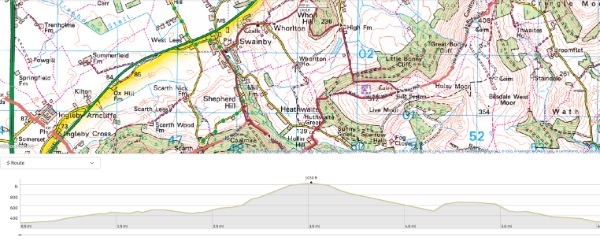
Distance: 6.2 miles
Elevation Gain: 286 metres
Endurance: Medium (maybe unsuitable for families with very young children)
All information, images and YouTube content kindly contributed by the wonderful Mike Newton.
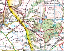
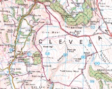
Circular Walk from Swainby on the map
Other activities in Great Ayton
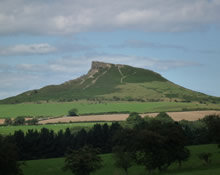
Roseberry Topping

Captain Cook's Monument
Bank Foot to Ingleby Incline Circular
Kildale to Baysdale Circular
- 6 miles
- 298 m
Kildale Falls Circular
Great Ayton Moor
Commondale through Danby & Castleton Circular
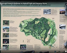
Guisborough Forest & Walkway to Highcliff Nab
Clay Bank to Tripsdale
North Yorkshire Three Peaks